
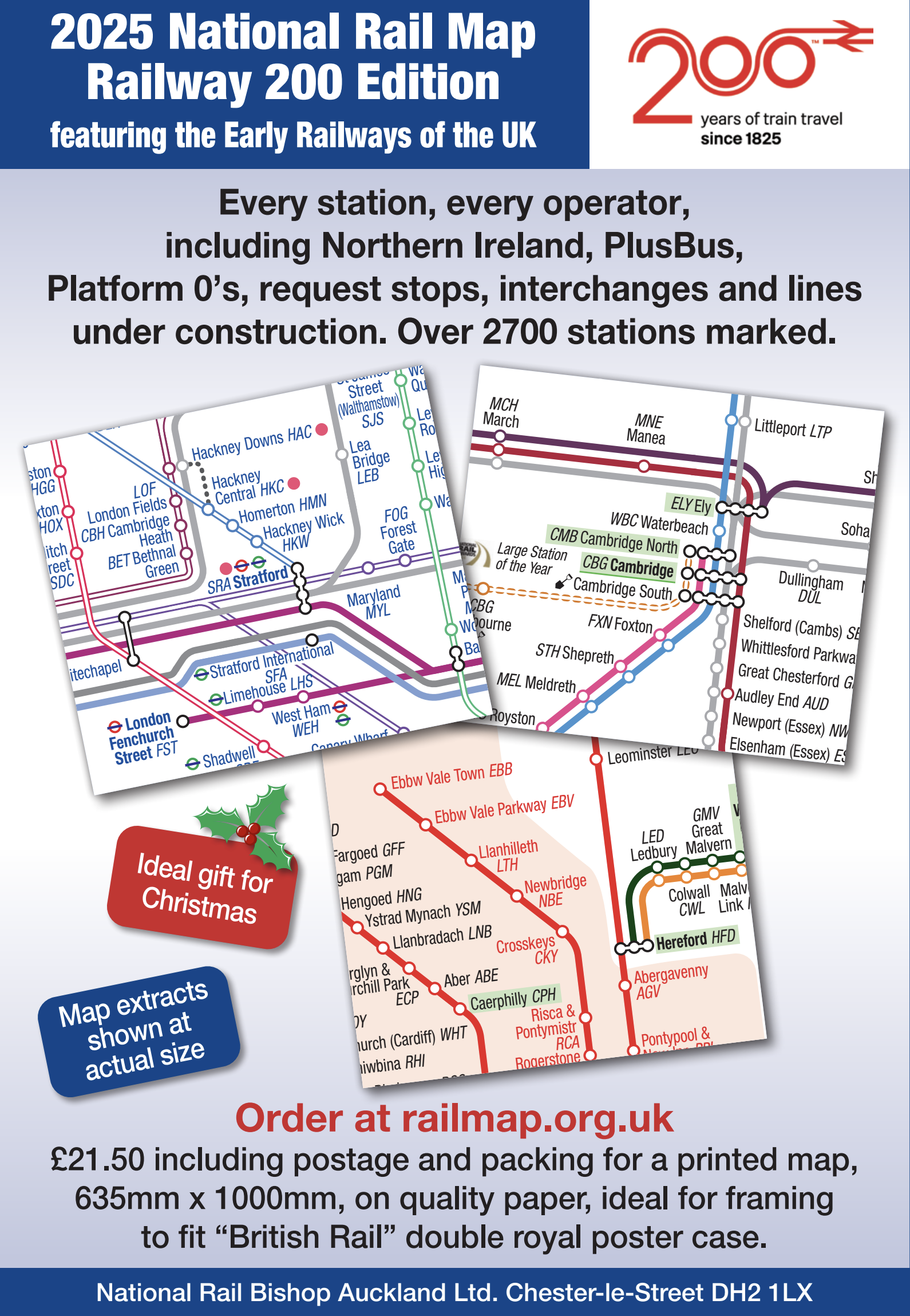
If you have ever wondered what the railway network looks like in Northern Ireland, or how commuter railways in London combine with one another, or where the request stops are, the National Rail map of the United Kingdom is the ideal purchase or Christmas present for you. The new edition was released on 26th November and is now on sale on line at http://www.railmap.org.uk. Every station is mentioned, even those that are under construction or in the advanced stage of planning. It’s a big poster size, ideal for an office wall, or the inside of a cupboard at home, and this year – being the 200th Anniversary of the Opening of the Stockton and Darlington Railway there are loads of QR codes connecting to the sites of early railways, major railway museums and a few other places of interest. Purchasers of the map are also entitled to a digital option which is a PDF of the printed map for their personal use.
Since the Places to Go series started in some magazines in 2003, I have written over 250 articles on places to go by train, and occasionally by bus or ferry. All these are designed to be with minimal carbon emissions and be much more of an adventure than going by car. Although you can calculate emissions based on passengers on the bus or train, the fact is that since public transport is operating anyway your emissions are related to the cost of moving your bodyweight only, plus maybe a bit of paper for the ticket. Indeed on many routes now – as shown on the new map – you don’t need a ticket at all, just tapping in at your origin and out at your destination using a credit or debit card or Apple/Google Pay for a contactless payment. It is so much easier to use buses and trains nowadays with improved information systems, including bustimes.org which reassures you that the bus is coming. That helps at what is often the worst bit of the journey: knowing whether or not the bus is on its way.
I am always pleased to have suggestions of Places to Go, and if there is a good reason I will revisit somewhere I have been to before. Places close by can be done as a day trip, but I would always recommend staying overnight for one or two nights when greater distance is involved, otherwise, you’ll spend all day travelling and not get to see your destination properly. Wherever you’re going by train, you will find this map uniquely helpful in planning your trips.
Finally, I must tell you about a journey I did on 28th October into the Scottish Borders which was a fantastic day out. Starting with the X74 from Newcastle Eldon Square at 0825 to Jedburgh, which is scheduled at 35mph, very fast for a bus, but after Ponteland, we only stopped once at Otterburn. I visited the Mary Queen of Scots House whilst there. The Borders Buses driver suggested I get their App to buy a day ticket, and let me do that whilst the bus was underway, and it cost £10.70 for a 24-hour ticket. I went first to Melrose to visit the Abbey, Harmony Garden and Trimontium exhibition about the Roman fort there. Bus to Duns for the Jim Clark Museum devoted to motor racing, and then to Eyemouth for the 2p slot machines in the arcade, simply to keep out of the rain. Last bus to Berwick where I caught the train home. I could have stayed overnight in Berwick and used the bus in the morning but I needed to get home to work on the map!


